Mississippi Gulf Fishing Banks, Inc.
Activity Report for the Period
March 15, 2002 - April 11, 2002
Summary
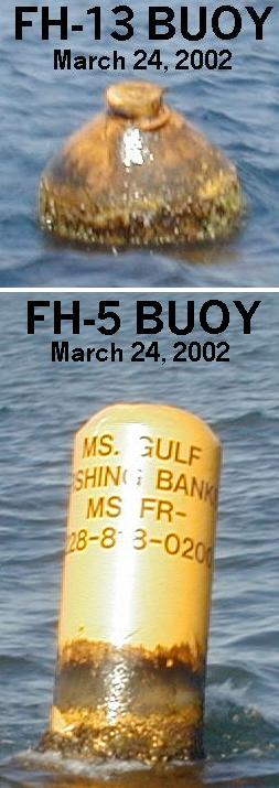
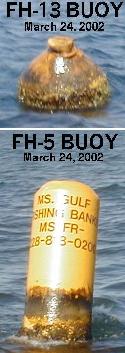
During this period, there were 2 reef construction trips conducted. On March 24, the Gulf States Barge was deployed in FH-4. Following that deployment, the first of four rubble deployments for the GCRL red snapper project was deposited in FH-13.
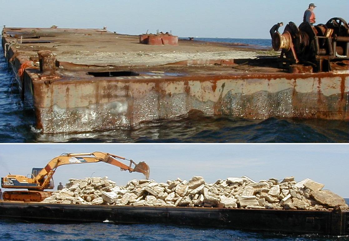
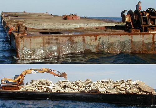
020324 Gulf States Barge 262F4
Position: 30°10.406'N/88°53.932'W 12228.1/47062.1/29427.8
Construction was performed by Gulf Stream Marine and spotter operations by PRIMOFISH.COM. This 250' X 50' X 10' Deck Barge was deployed in the northwest corner of FH-4. Original plans were to place it in FH-12, but the barge was taking on water too fast and it was feared that the vessel would not float the distance. The bow was facing approximately 290° magnetic and was located at 30°10.414'N/88°53.946'W while the stern was recorded at 30°10.397'N/88°53.918'W. The surrounding depth was 28 feet, while the minimum recorded depth was at 17 feet. Predicted tide level was 0.1 feet with a range of -.6 to 1.0 feet. There is a large winch on the mid Stern Deck that adds another 4-5 feet of height. There is also a large hole cutout in the starboard stern quarter.
020324B Rubble GCRL-1 263F13
Position: 30°02.380'N/88°32.003'W 12453.2/47032.5/29616.7
Construction was performed by T&W Marine and spotter operations by PRIMOFISH.COM. This rubble is the first of four deployments planned for use by the GCRL (Gulf Coast Research Laboratory) for deployment of hatchery raised red snapper. The Tug "Leslie Ann" and Crew Boat "Landon B" were met at the planned deployment coordinates of 3002.4/8832.0. Deployment started at 30°02.403/88°32.018 and ended at 30°02.380/88°32.003 with most of the concentration charting at the ending position. The surrounding water depth was 74 feet with a minimum depth of 71 feet recorded. Predicted tide level was 0.6 feet with a range of -.6 to 1.0 feet.
http://primofish.com/
http://mgfb.org/
PRIMO's Link Page
EMail Author: Mark@primofish.com